
Long-Range EO/IR Systems
Long-Range EO/IR Surveillance Systems
A two-axis gyro-stabilized turret carrying a visible/near-infrared continuous zoom camera (up to 2000 mm) and a continuous zoom thermal camera (up to 1200 mm), with an optional eye-safe laser rangefinder. Automatic detection and tracking run on the system. The thermal camera can be cooled MWIR or uncooled LWIR. Country of origin: overseas (non-PRC).
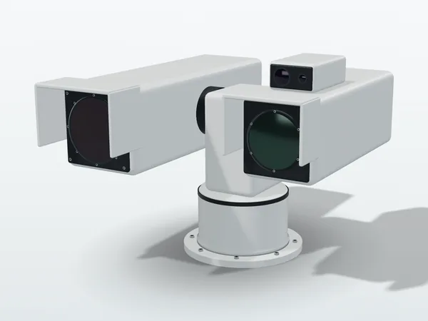
Cooled MWIR thermal camera
Common specifications: cooled snapshot focal plane array, 1280×720, 10 µm pixel pitch; 3–5 µm band; system NETD 28 mK typical (< 30 mK); F/4; autofocus (full frame or region of interest) or manual focus.
| Optical zoom | Focal length (mm) | HFOV at telephoto |
|---|---|---|
| 20× | 15–300 | 2.44° |
| 14× | 50–690 | 1.1° |
| 13× | 70–900 | 0.85° |
| 12× | 100–1200 | 0.64° |
Estimated observation ranges (DRI, km)
| Telephoto (mm) | Vehicle: detect | Vehicle: recognize | Vehicle: identify | Person: detect | Person: recognize | Person: identify |
|---|---|---|---|---|---|---|
| 300 | 21.2 | 10.7 | 5.8 | 12.7 | 4.9 | 2.8 |
| 690 | 26.8 | 16.7 | 10.4 | 18.9 | 8.9 | 5 |
| 900 | 28.5 | 19.4 | 12.6 | 21.7 | 11 | 6.2 |
| 1200 | 29.5 | 22.4 | 15.3 | 24.1 | 13.4 | 7.9 |
Vehicle targets are 2.3 × 2.3 m and person targets 0.5 × 1.8 m; detection, recognition and identification correspond to 1, 3 and 6 line pairs on the target. Calculated per STANAG 4347 with the TRM4 model: 50% probability, 2 K target-to-background temperature difference, 0.18 /km atmospheric attenuation. Actual ranges depend on weather, atmosphere and target, so use these figures for comparison only. Horizontal fields of view are rated values with ±5% tolerance.
Visible/near-infrared zoom camera
Common specifications: CMOS sensor of about 2.1 megapixels, 1920×1080; minimum illumination 5 mlux (real-time video at 25 fps, monochrome mode); selectable visible, near-infrared (defog) or combined; optical and electronic image stabilization; autofocus or manual focus.
| Optical zoom | Focal length (mm) | Wide-angle field of view (H × V) | F-number |
|---|---|---|---|
| 35× | 10–350 | 31.1° × 17.8° | F/1.6–3.7 |
| 60× | 6.8–408 | 66° × 40.3° | F/1.4–4.6 |
| 64× | 16–1030 | 19.6° × 11.1° | F/2.8–8.8 |
| 60× (with 2× extender) | 33.4–2000 | 11.3° × 6.3° | F/7–18 |
Turret and system
| Item | Specification |
|---|---|
| Pan | Continuous 360° |
| Tilt | ±90° (software and mechanical stops) |
| Pan and tilt speed | 0.02 to 100 °/s (payload dependent) |
| Position accuracy | < 0.1° (1.75 mrad) typical |
| Position resolution | 0.0005° (9 µrad) |
| Control protocols | ONVIF Profile S; HTTP/WebSocket API |
| Sealing | IP67 |
| Operating temperature | −32 to +55 °C (storage −40 to +71 °C) |
| Environment | MIL-STD-810 compliant for maritime applications |
| Size and weight | Top configuration < 950 × 650 × 650 mm (W × D × H), < 75 kg |
| Options | Eye-safe laser rangefinder (25 km), window cleaning system, integration with monitoring centers or vessel traffic services (VTS) |
| Country of origin | Overseas (non-PRC) |
Software and integration
- Remote operation of one or several systems, with web and touchscreen interfaces and concurrent multi-user access
- A map view of each station's viewing direction and coverage; configurable exclusion zones, surveillance sectors and patrol routes
- AI-based automatic detection and tracking of vessels, vehicles, people, drones, smoke and fire; the turret follows the tracked target automatically
- Geo-referenced alarms and events, with integration into third-party monitoring platforms through an API or the ONVIF protocol
Suited to perimeter monitoring of airports and critical sites, border and coastal surveillance, maritime surveillance and vessel traffic services (VTS), and long-range observation and tracking of aerial targets, including drones. To bring several sites, laser ranges and track data into the operating picture of a command center, see C2ISR integration.
Related products
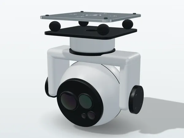
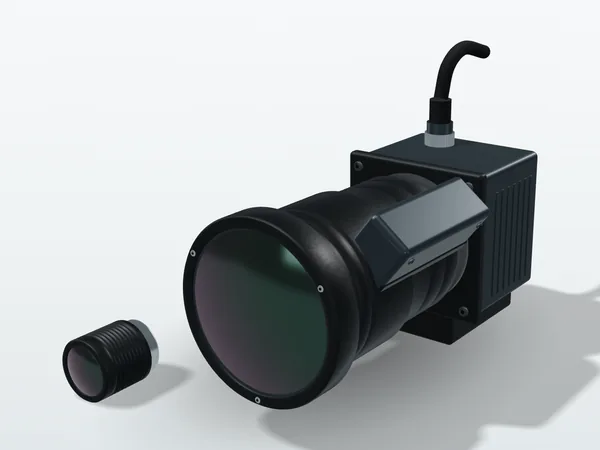
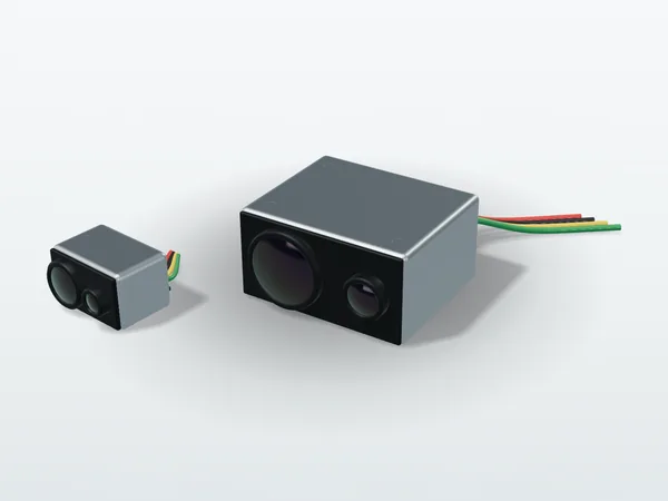
Original illustration, not a product photo. Actual appearance varies by model.
How far do you need to see, and in how much detail?
Tell us the target types, distances and installation environment; we will suggest thermal and day camera configurations before quoting.